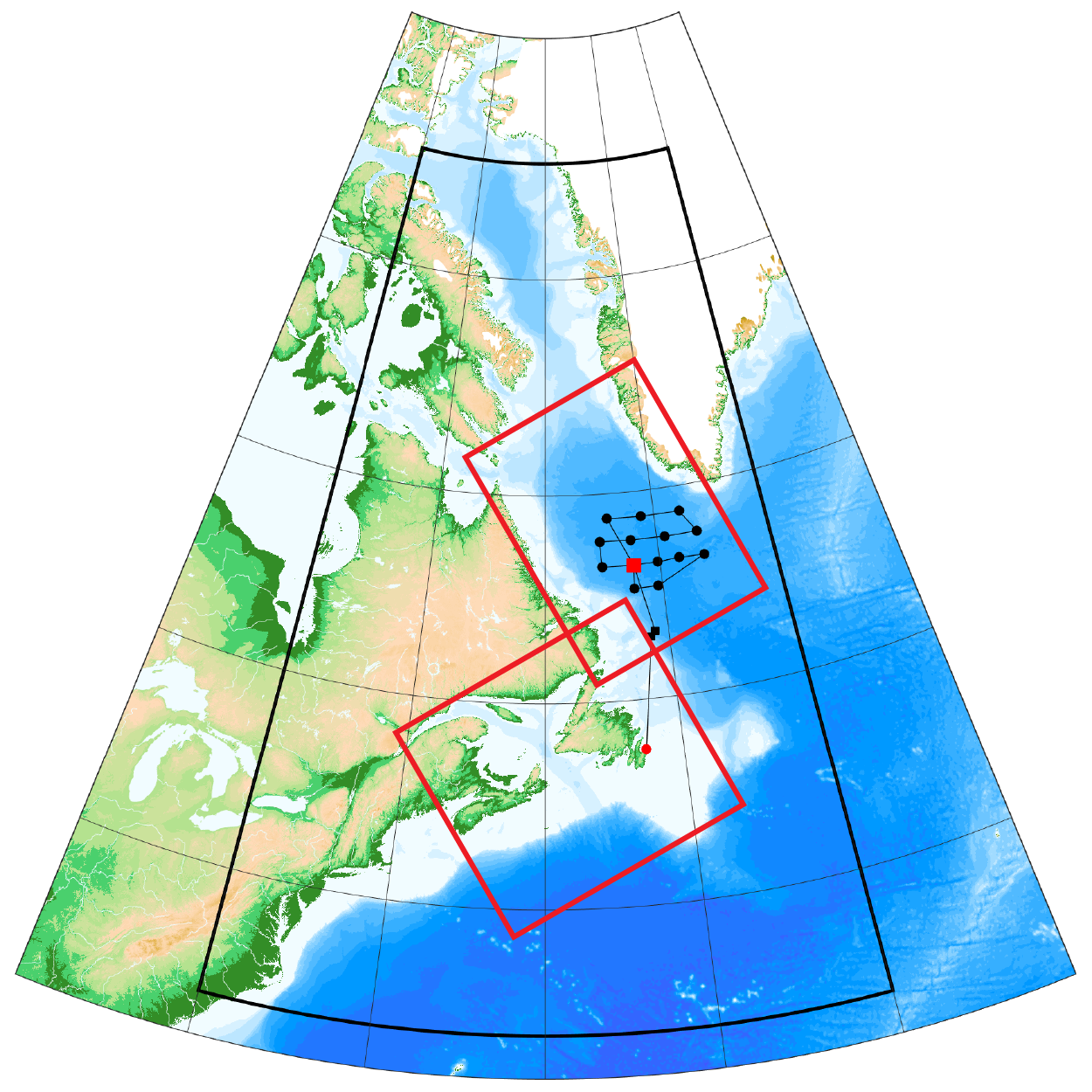
 Map showing our Northwest Atlantic study region: black and red boxes show the areas of focus for modeling, the red dot shows a key mooring location, and black dots show potential process cruise station locations.
We will use the data and mechanistic understanding generated from work associated with Themes I and II to construct models of how climate change will alter the productivity and the BCP in the Northwest Atlantic. We will develop a high-resolution model of the NWA with two smaller-scale, even higher-resolution child models nested inside. These nested models will be informed by historical and modern data collected in the field portion of the project and will be run with modern IPCC projections for climate change over the next century to assess how the BCP and its physical drivers may respond to different climate change scenarios. The ocean models we develop will also be used to assess sources of uncertainty in projections, and to separate the natural from the anthropogenically-driven signals of climate change in the NWA system.